What is the Christchurch 360 Trail?
A long distance trail for Christchurch
The Christchurch 360 Trail is a long distance trail joining existing tracks, park walkways and reserves around the perimeter of the city of Christchurch. The total length is 135 km's and the trail can be covered by any form of non powered transport including walking, running, riding and on horseback.
 |
Official map of the Christchurch 360 Trail |
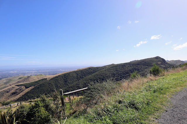
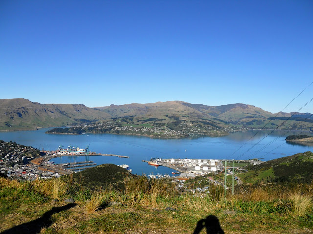
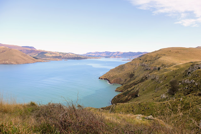
The trail encompasses both off road tracks and urban areas so it is a mix of bush, forest, reserve and road. A long section of the trail follows the Crater Rim Walkway along the Port Hills and another the river embankments from near Brooklands right out to McLean Island.
 |
Map Legend for Christchurch 360 map |
As you can see on the map below I have completed a fair chunk of the trail, the pieces missing are interconnecting sections of road biking for the most part. I am going to make a concerted effort to complete the trail and will post when I have finished the remaining sections.
 |
Sections of Christchurch 360 Trail completed as of January 2016 |
Come join me as we explore the hills, bush, beaches, wetlands, rivers and city scape of Christchurch.
Comments
Post a Comment