Bridle Path - Mt Pleasant, Christchurch 360 Trail: 20 April 2014
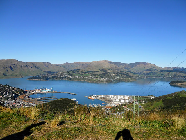
Gateway to Colonial Canterbury...the Bridle Path Once again the weather has played havoc with my tramping plans. I had organised to go for a trip to the Arthur's Pass area, unfortunately yet another storm made this impossible. As the weather on the Port Hills was good I decided to do an extended walk closer to home. I walked up the Bridle path to Summit Road and then along and down Mt Pleasant and back to my car. Lyttelton as seen from the apex of the Bridle Path, Port Hills Canterbury The Port Hills are the closest range to the city, they are covered in tracks and routes for walking, cycling and tramping. The "Hills" are visible from all parts of Christchurch and are one of the many reasons this is such a great city to live in. Map of Bridle path Here is my car at the car-park at the bottom of the path, the track climbs for 450 meters from this spot up to a road which runs along the crest of the Port Hills. It would be abou...