360 Trail Map
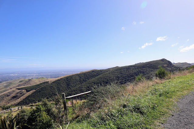
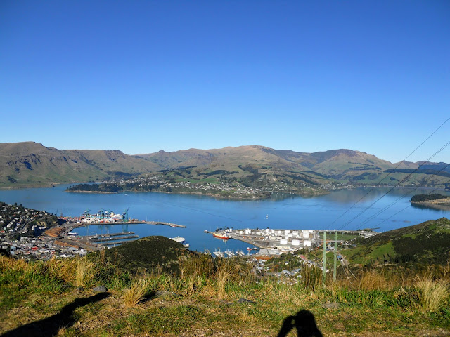
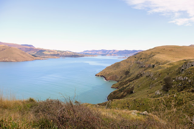
The trail encompasses both off road tracks and urban areas so it is a mix of bush, forest, reserve and road. A long section of the trail follows the Crater Rim Walkway along the Port Hills and another the river embankments from near Brooklands right out to McLean Island.
 |
Official map of the Christchurch 360 Trail |
 |
Comments
Post a Comment